Jarðsagan
During the last glacial period, a layer of ice, more than a 1000 metres thick, covered the land. Despite the cold, there was widespread volcanic activity under the glacier. This activity formed tuffs. Some of these volcanic eruptions managed to melt through the glacial shield and ended in lava flows. Others melted only a cavity under the ice and formed palagonite mountains or long palagonite ridges.
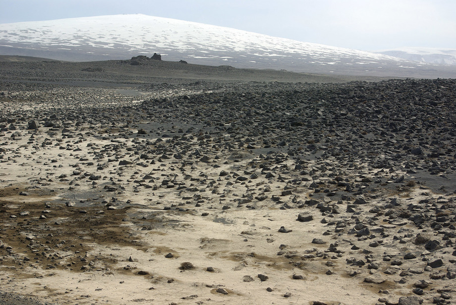
Lava around mountain Skjaldbreiður
When the temperature increased 18,000 years ago, the glacier began to melt and retreated gradually. The first indication of Lake Þingvallavatn appeared 12,000 years ago.
The glacial tongue lay in the Þingvellir depression, and a glacial lagoon was formed to the south of it, north of the mountains known collectively as Grafningsfjöll. Þingvallavatn was later formed when the glacier retreated to the north, and water from it accumulated in the depression. From beneath the glacier, various types of palagonite mountains that were formed by volcanic activity under the ice depression came to light.
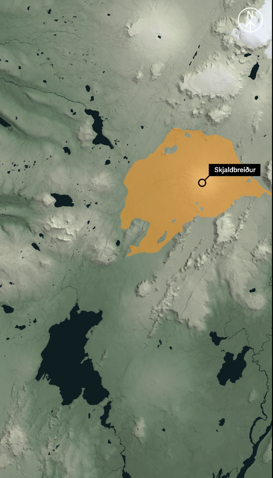
Lava flow from mountain Skjaldbreiður.
Þingvellir National Park / Gagarín
About 10,000 years ago, when the glacier had reached its current position, a shield volcanic eruption started. This resulted both in mount Skjaldbreiður, one of the most beautiful shield volcanoes in Iceland, and a shield volcano south of mount Hrafnabjörg, from which the Þingvellir lava flowed. The eruption that formed the shield volcano probably lasted for decades, maybe even a century.
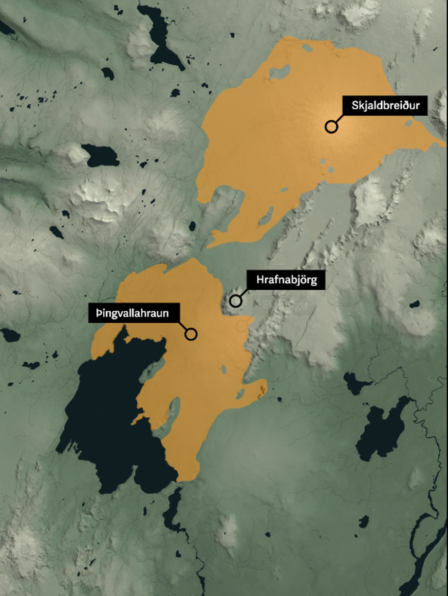
From craters south of Hrafnabjörg lava, named Þingvallahraun, flowed.
Þingvallaþjóðgarður / Gagarín
The lava collected murky glacial run-off water south of the Þingvellir depression. All the water from the north drained through the lava and reappeared below as clear spring water.
The lava from the shield volcano south of Hrafnabjörg extended a long way into the lake and blocked off the outlet at Sogshorn.
This meant that the water level rose, but at the same time it decreased considerably as lava occupied most of it. The lava flattened out over the Þingvellir depression, but land subsidence and rifting continued so the faults were renewed. You can now see a cross-section of the lava in the rift walls.
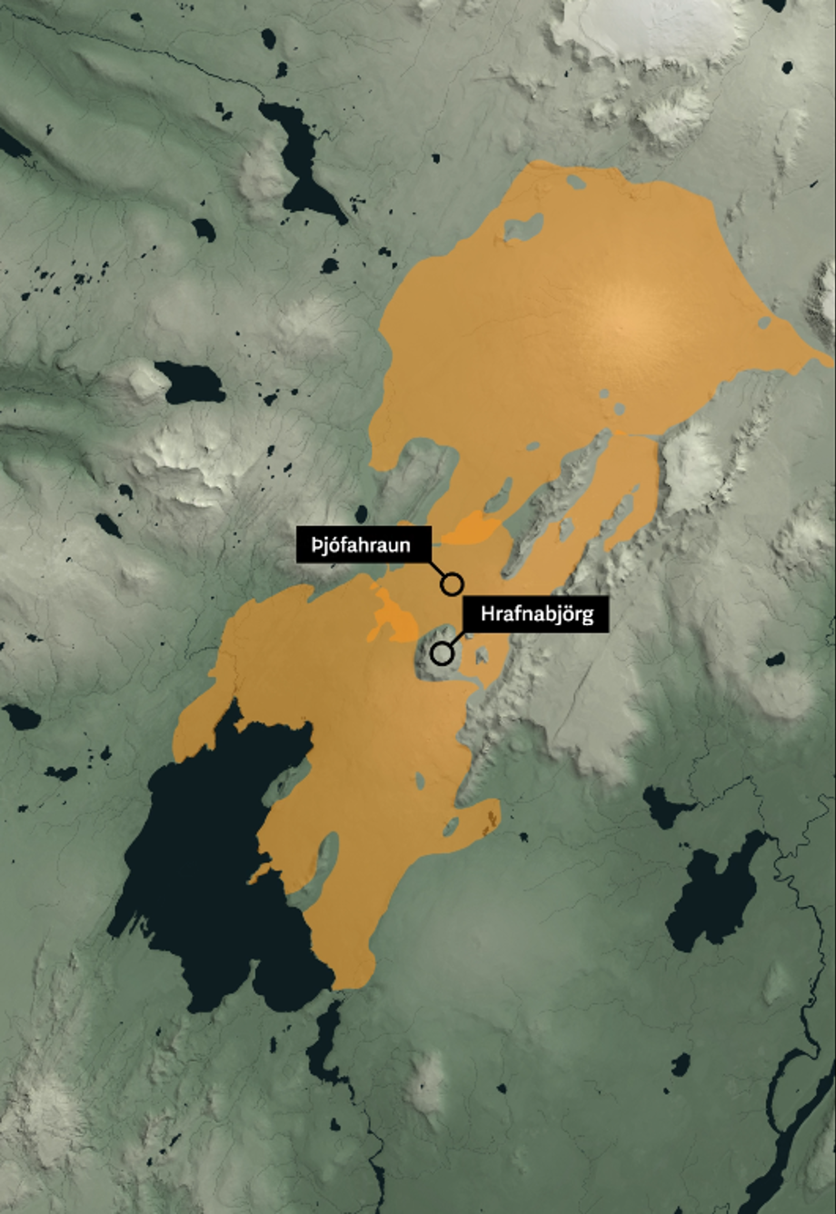
Latest eruption north of lake Þingvallavatn formed lava field named Þjófahraun.
Þingvellir National Park / Gagarín
About 3000 years ago an 8 kilometre long eruptive fissure opened north-east of Hrafnabjörg and formed Þjófahraun. The lava spread out east of the Tindaskagi ridge but some ran north-west of Hrafnabjörg.
The last eruption in the Þingvellir depression was 2000 years ago. That eruptive fissure is north-east of mount Hengill.
The lava, Nesjahraun, ran into Grafningur and the ash crater Sandey arose from the bottom of Lake Þingvallavatn.
Volcanic activity at Þingvellir has been dormant for 2000 years, but the question is not whether, but when it will start up again.