Underwater archaeology in Þingvallavatn
Earlier this summer we introduce coming project with surveying archaeological remains underwater on the northern shore of lake Þingvallavatn. That project has now started and for the next seven days a team of underwater archaeologists will use a number of remote sensing methods including drone and side-scan sonar surveys to identify potential archaeological remains, some of which may have been previously on land. The park´s guests might therefor notice some boat and drone traffic on the northern shore.
It is estimated that over the last 1000yrs the land in the Þingvellir valley has subsided by as much as 4m. The aim of the project is both to identify underwater archaeological remains and also to understand better the interaction with the Þingvallavatn lake in the past.
The project is led by underwater archaeologist Dr. Kevin Martin. Further information is provided by torfi@thingvellir.is or +3548480672.
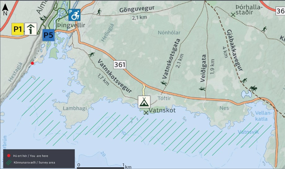
A map showing the area were the surveying will occur.